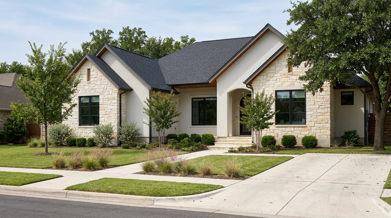
Thinking about selling your Whitesboro acreage but not sure where to start? You’re not alone. Rural listings have unique moving parts, and the best offers go to properties that feel certain, accessible, and easy to understand. In this guide, you’ll learn the exact steps to prepare your land for the market, from surveys and access to brush work and pro-grade visuals. You’ll also get a simple timeline and checklist to make it manageable. Let’s dive in.
Start with certainty: survey, access, and taxes
Order a current survey
A recent boundary survey gives buyers confidence about what they are purchasing. If you don’t have one, consider commissioning a boundary survey that pins corners and shows existing fences and any encroachments. Work with a licensed Texas professional land surveyor; you can verify licensing and standards through the Texas Board of Professional Land Surveying.
Confirm access and easements
Buyers will ask how they legally reach the property. Identify whether access is via a public or county road, a privately maintained road, or a recorded ingress/egress easement across a neighbor’s parcel. If there is an easement, include a copy in your listing packet and clarify any gate or maintenance responsibilities. Grayson County Road & Bridge can confirm county road status and maintenance.
Know what conveys: minerals and restrictions
In Texas, mineral rights are often separate from surface rights. Review your deed to see if minerals convey or are reserved, and gather any recorded easements or subdivision covenants. A title company can help surface liens or encumbrances that buyers will want to understand before making an offer.
Verify ag valuation and property taxes
Many Whitesboro properties benefit from agricultural or open-space appraisal. Gather your most recent tax records and be ready to explain the qualifying agricultural activities. For reference, see the Grayson County Appraisal District and the Texas Comptroller’s guidance on open-space appraisal. Changing use or ownership can affect appraisal and may trigger rollback taxes, so put the facts in your packet.
Check floodplain and regulated resources
Buyers often ask whether any portion of the land lies in a mapped flood zone. You can look up the property on the FEMA Flood Map Service Center. If you have ponds or impoundments, note any permits or maintenance records, and identify whether dams require inspection. Be ready to disclose known wetlands or protected habitats if applicable.
Make access effortless: roads, gates, utilities
Tune up the approach
First impressions start at the road. Grade ruts, add base where needed, and trim brush along the primary drive so full-size vehicles can pass without issue. Make sure gates swing and latch easily. For showings, provide a simple driving map that marks gate locations, the preferred route, and any private road guidelines.
Power, connectivity, and documentation
Document the location and capacity of electrical service, whether it’s single-phase, available at the road, or requires extension to a building site. Note broadband or cell coverage where you can. If utilities are not present, don’t quote costs; instead, list the distance to the nearest connection point and refer buyers to local providers for estimates.
Wells and water
If you have a well, include logs, pump specs, recent water-quality testing, and maintenance records. If you rely on surface water features like ponds, be clear about their condition and any past work. Groundwater and surface water are regulated differently in Texas, so keep the documentation simple and factual.
Septic systems
For any on-site wastewater system, gather the permit, installer information, maintenance history, and any recent inspections. Buyers want to know whether the system aligns with current standards for their intended home size. For general guidance, see the TCEQ page on on-site sewage facilities.
Present the land buyers want to experience
Strategic brush clearing
You don’t have to clear the entire property to boost appeal. Focus on opening a logical homesite, clearing a drive lane to key features, and creating sightlines that show usable pasture and topography. For region-appropriate methods that protect soils and native species, consult Texas A&M AgriLife Extension resources on brush and pasture management.
Burn, mulch, or both? Safety first
Prescribed fire can be an effective tool when used by trained professionals with a burn plan and proper permits. Mechanical mulching or selective herbicide may be better near structures and driveways. Always follow local rules and coordinate with fire authorities. The Texas A&M Forest Service offers guidance on prescribed burning and woody encroachment control.
Fences, gates, and boundaries
Repair or replace visibly deteriorated fencing along key boundaries and livestock areas. Ensure gates are easy to operate and can be secured for showings. If fence lines don’t match the surveyed boundary, disclose it and consider corrections so buyers have a clear picture.
Pasture condition and forage
If your likely buyer has livestock or horses, document recent pasture work such as brush control, seeding, or rotational grazing. A simple one-page summary with dates and scope gives buyers confidence about your land’s management.
Ponds and streams
A clean, healthy pond is a selling point. Note depth estimates, stocking, recent maintenance, and any dam-related inspections if applicable. Keep the shoreline tidy and accessible so buyers can see the value.
Reduce fire risk
Create defensible space around structures and driveways by removing ladder fuels and trimming overgrown brush. Simple measures that reduce wildfire risk can support insurability and give buyers peace of mind.
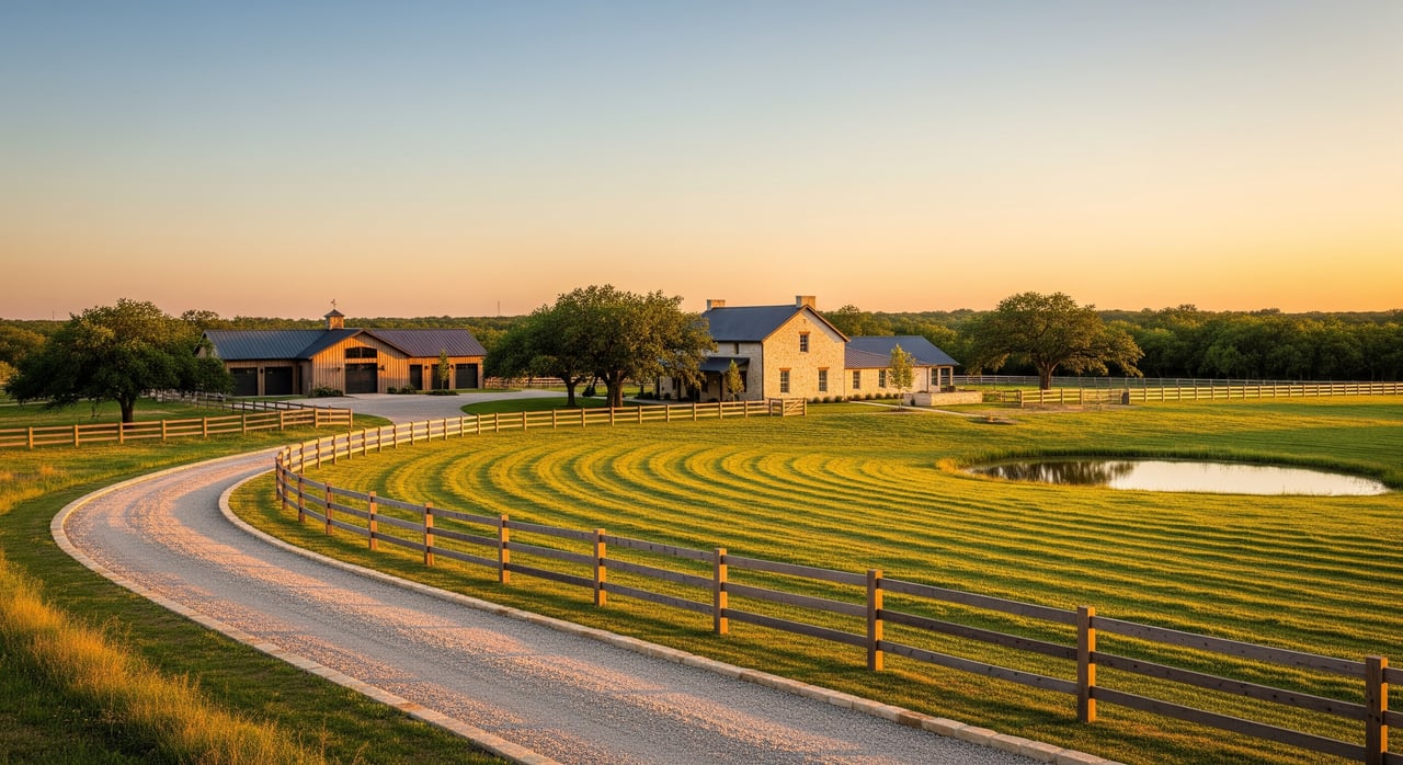
Marketing that sells acreage, not just land
Premium ground and twilight photos
Acreage buyers shop online first. Capture wide shots of the approach, gates, cleared homesites, fencing, ponds, and notable views. A few golden-hour photos can become hero images that anchor your listing.
Drone aerials and maps
Aerial images help buyers understand parcel shape, road frontage, water features, and building-site context. Hire a licensed remote pilot who follows the FAA Part 107 rules for commercial drone flights. Include a simple parcel map with a north arrow, scale, and labels for the well, septic, barn, pond, and ingress route.
Create a property packet buyers will save
Put your documentation in one place: survey, parcel map, easements, utility notes, well and septic records, tax info, and a one-page highlight sheet. This reduces back-and-forth and strengthens offers from serious buyers.
Stage for showings
For homes with acreage, apply standard staging inside the house and add land-specific touchpoints outside. Mark a walking or UTV route to key features, post a simple site diagram at the cleared homesite, and ensure gates are unlocked per showing instructions.
Suggested timeline and checklist
6–8 weeks before listing
- Gather deeds, tax records, existing surveys, well and septic records, and any covenants.
- Order an updated boundary survey if corners are not pinned or your survey is outdated.
- Contact a title company for a preliminary look at easements, liens, and restrictions.
4–6 weeks before listing
- Repair gates, driveways, and key fence lines to ensure safe, easy showings.
- Complete targeted brush clearing to reveal the homesite and open sightlines.
- Schedule well water testing and a septic inspection if applicable.
- Book a professional photographer and a Part 107 drone pilot.
2–4 weeks before listing
- Compile the property packet: survey, maps, easements, utilities, well/septic, tax info.
- Confirm legal access details and gather any recorded easement documents.
- Prepare online assets: aerials, parcel overlay maps, and feature descriptions.
Ongoing while on market
- Keep access routes graded and trimmed, and remove debris after storms.
- Maintain gates and signage so showings run smoothly.
- Respond quickly to document requests from buyer agents.
What to expect from your listing team in Whitesboro
A strong acreage listing is part preparation, part presentation, and part process. You want a team that understands Grayson County land, can coordinate surveys and documentation, and invests in premium photo, video, and aerial mapping to showcase your property clearly. With local stewardship, construction and land know-how, and polished digital marketing, you can attract the right buyer set and negotiate from a position of confidence.
If you’re considering selling acreage in or near Whitesboro, let’s map out a plan tailored to your land and timeline. Reach out to Texas Life Real Estate LLC to start a conversation.
FAQs
What survey do I need to sell rural acreage in Whitesboro, TX?
- A recent boundary survey that pins corners and shows fences and encroachments is typically best for acreage buyers; confirm licensing through the Texas Board of Professional Land Surveying.
How do I confirm my ag valuation and possible rollback taxes in Grayson County?
- Pull current records from the Grayson County Appraisal District and review the Texas Comptroller’s open-space appraisal overview to understand how changes in use or ownership can affect appraisal.
How can I check if part of my land is in a floodplain near Whitesboro?
- Enter your address or coordinates in the FEMA Flood Map Service Center to see mapped flood zones that may influence insurability and building placement.
Do I need a licensed drone pilot for listing aerials?
- Yes for commercial marketing; hire a pro who follows the FAA Part 107 rules and handles any airspace coordination or waivers.
What documents should I gather before listing acreage?
- Collect the survey, deed, easements or restrictions, tax and ag valuation records, well logs and water tests, septic permits and maintenance history, and a simple parcel map with access notes.
How should I present a property without existing utilities?
- Mark the preferred building site, document estimated distances to power and water, note cell or broadband availability if known, and refer buyers to local providers for extension quotes without promising costs.